
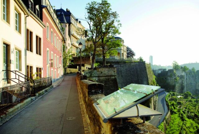
Le Chemin de la Corniche
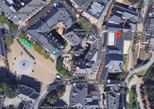
Exiting the history museum the visitor has two choices: to head a few meters opposite the entrance of the museum, behind the complex that lies adjacent to the Rue du St.Esprit (the road that passes in front of the entrance), and find one of the nicest squares in the old city, Place de Clairefontaine. or the other way round to find the scenic path of the Le Chemin de la Corniche
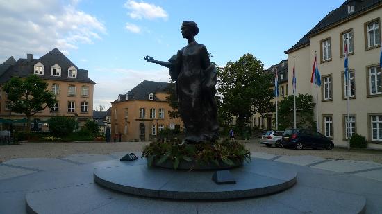
The Place de Clairefontaine is where the statue of Grand Duchess Charlotte (1896-1985) designed by the Parisian sculptor Jean Cardot was erected in 1990. The square took its name from a refuge near the Belgian borders, that belonged to the Abbey of Clairfontaine and was demolished before World War II.
Heading the other way, on the back of the history museum lies a pedestrian promenade described by many as Europe’s most beautiful balcony. This scenic path known as Le Chemin de la Corniche is the best way for someone to admire the lower city and the Grund following the course of the 17th-century city ramparts that lead to the promontory of the Bock.
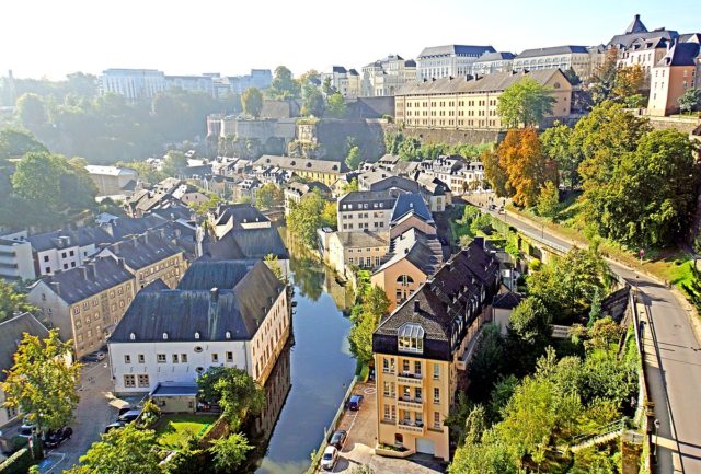
Built by the French and Spanish in the 17th century when the old fortifications were dismantled after the Treaty of London in the 1860s and most of the wall was taken down, a unique panoramic setting was unraveled. The Grund neighborhood & the Alzette River and valley, the rooftops of the picturesque houses on the feet of the Bock, synthesize a breathtaking vista that has turned the cobbled path-way, a favorite attraction for tourists and locals alike.