Take the Wenzel Walk
Take the Wenzel Walk. Take the historic Wenzel Walk that guides you through the oldest quarters of the city as you pass in front of a multitude of outstanding buildings. The walk guides the visitor for about 100 minutes through the thousand-year history of the city’s core, a UNESCO World Heritage Site.
The walk’s name pays tribute to Wenceslas II, Duke of Luxembourg between 1383 and 1419. During his rule a part of the third ring, the Wenzel ring of the wall was erected. A lot of background details and facts will be unveiled during the walk. A large array of information boards pinned along the way supply further details about the most important sights and the history of the city of Luxembourg.
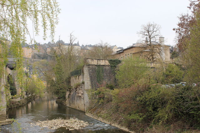
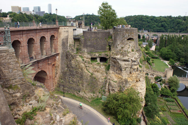
The promenade starts on the Bock Promontory, the cradle of the city which offers a unique panorama of the Alzette valley, the districts of Grund, Clausen & Pfaffenthal, and a chance to admire its carved rock casemates. The Pont du Chateau Castle Bridge built out of Red sandstone in 1735 to connect Upper Town and the Bock Promontory both on its surface and underground is the second station.
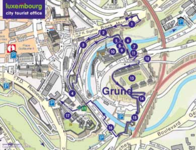
Next is the so-called Corniche”(Chemin de la Corniche) set up by the Spaniards in the 17th century & fortified by Vauban later on. This defense wall provides the visitor with a breathtaking view of the Alzette Valley, the Grund neighborhood, and the Rham Plateau. Further downwards the walk passes the bastioned gate built by the Spaniards in 1632, named the second Grundberg Gate or Grund Gate (4th site).
Turning left and following the meanders further down towards the bottom of the valley, one reaches a small footbridge called Stierchen (5th site). The different towers rising straight forward functioned as a defense for the inhabitants of the valley and is called the Wenzel wall which is the 6th site of reference.
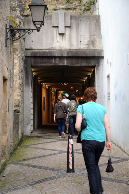
The moat in front of the Wenzel wall, uncovered by archaeologists in 1992 along with two more exterior moat walls, one medieval and the other one dating back to the Spanish domination constitute the 7th notable element of the itinerary. Crossing the sentry walk of the battlements fitted out with loopholes we pass the Tutesall (Robert Krieps hall) (8th site), where we find further remains of the Wenzel wall. Glancing through a window in this building we catch sight of the Krudelspuert (9th site) that linked the city districts of Grund & Clausen during the 17th century. The Tutesall is part of the complex of buildings forming the Neumünster Abbey (10th site).
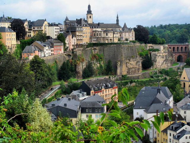
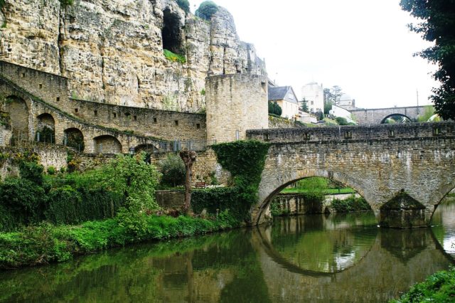
Ascending a staircase we arrive at the Second Gate of Trier (11th site) built in 1590 and leading across the road to the Rahm Plateau. On the way we pass a bigger gate, the Dinselpuert also named the old Gate of Trier (12th site). Rham Plateau (13th site), Biesserpuert (14th) dating back to the 15th century, and Maierchen (15th) which literally means small wall, lead us across the Alzette.
Near the outlet of the Petrusse, we enter Rue St Ulric which leads us to the Church of St Ulric (16th), the oldest parish church of the city. Walking through St Ulric Street, on the right-hand side a small path takes us to the bank of Alzette. Here we see parts of the Grund Lock (17th site) built in 1731, a sort of dam that worked as an extra obstacle for attacking troops. After a short walk along the bank and after you cross the road to your left we reach a lift through a short pedestrian subway.
The same elevator will take us to the last stop, the Holy Ghost Plateau(18th) in the Upper Town. Guided tours are offered from Easter to October at 3 pm and on request one guide for a maximum of 25 persons at any time of the year. Email: guides@luxembourg-city.lu
